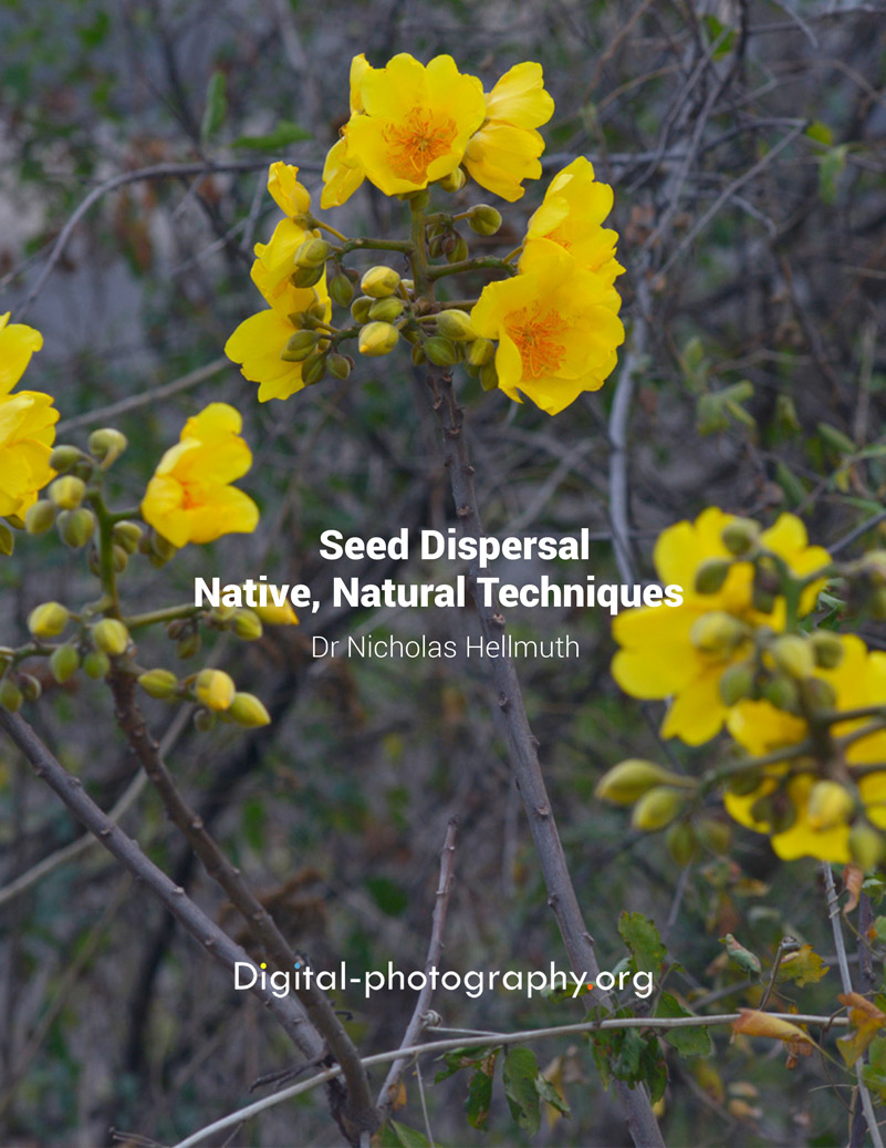
Posted May 19, 2025
Written by Nicholas Hellmuth
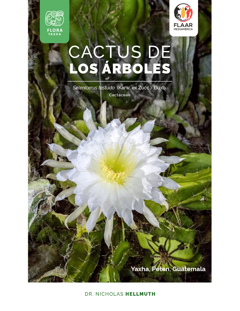
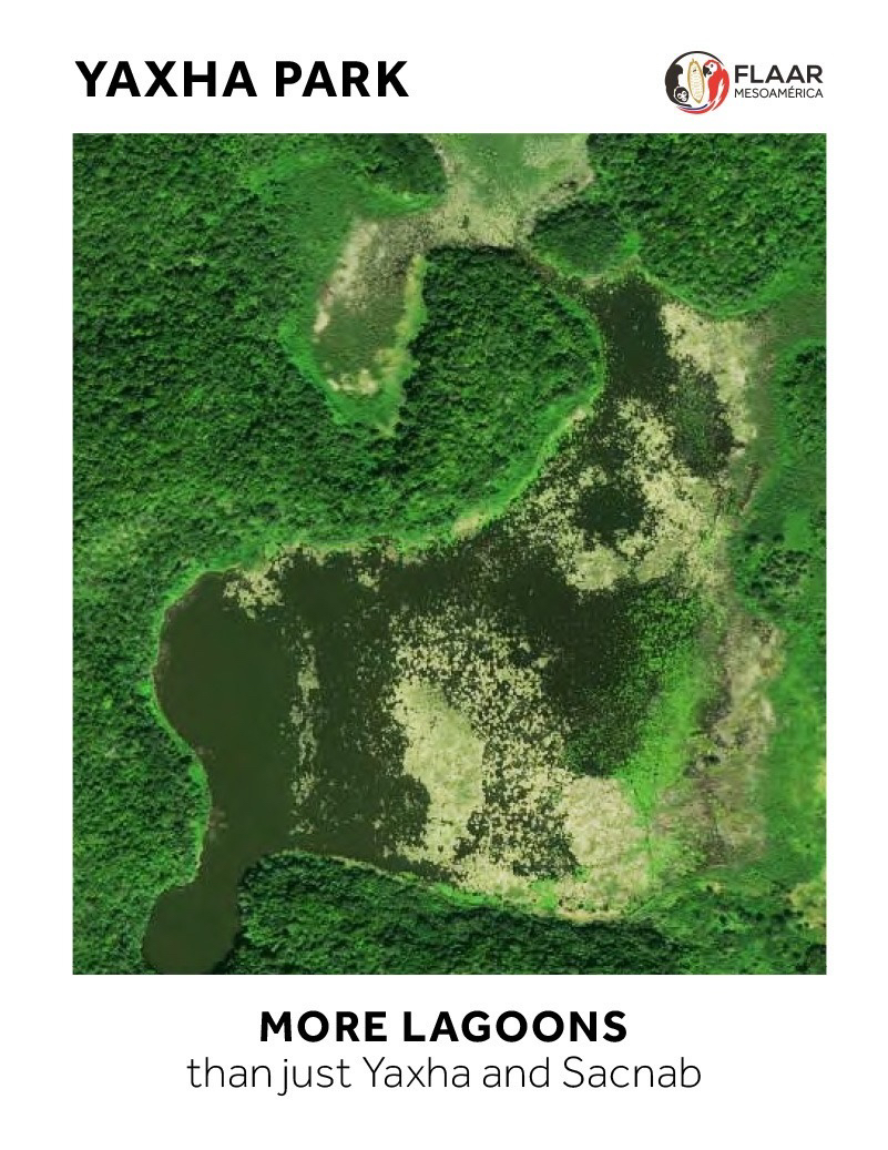
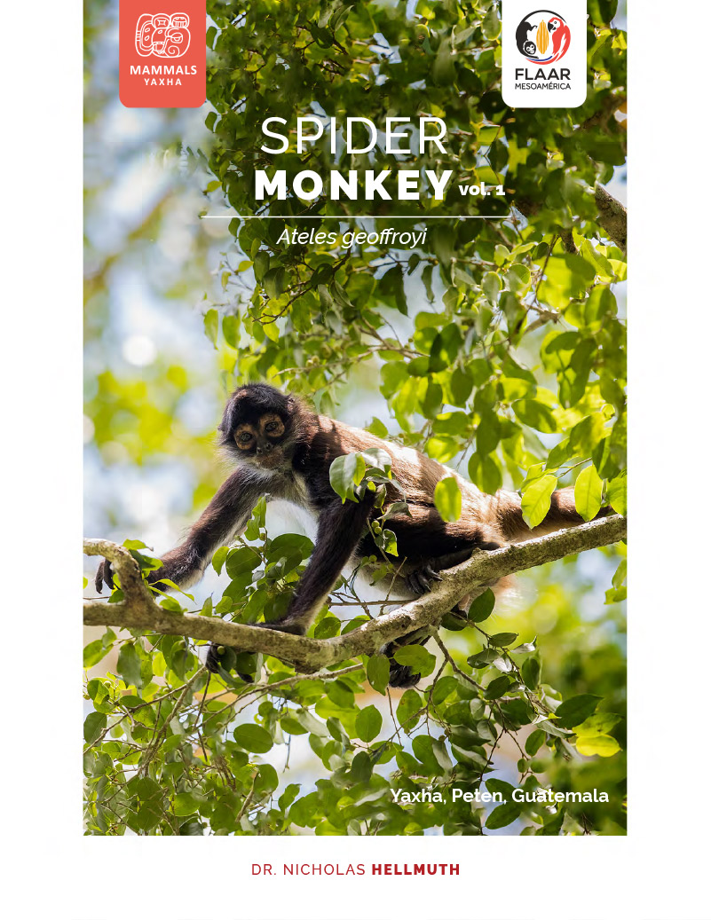
The Maya ruins of Yaxha, Topoxte Island, Nakum and Naranjo-Sa’al are very popular for bird-watchers and eco-tourists. We (FLAAR from USA and FLAAR Mesoamerica, Guatemala) have been accomplishing flora, fauna and ecological field work in this national park since 2018 (in addition to Hellmuth and his team mapping the pyramids, palaces, ballcourts, causeways and house mounds of Yaxha, Topoxte Island and Nakum in the 1970’s).
In late April 2025 we did field work with our registered Mavic 3 drone aerial camera and photography from the ground in several locations of impressive bio-diverse ecosystems in the Naranjo-Sa’al part of PNYNN. Here are two FLAAR Reports.
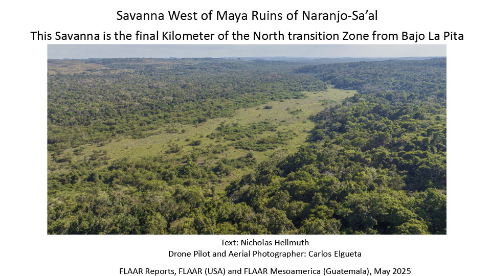
Savanna West of Maya Ruins of Naranjo-Sa’al This Savanna is the final Kilometer of the North transition Zone from Bajo La Pita
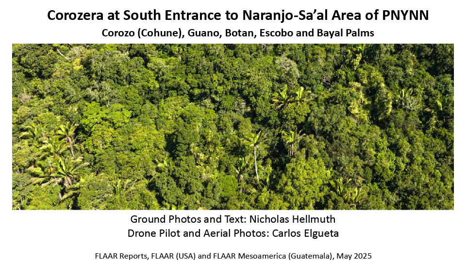
Corozera at South Entrance to Naranjo-Sa’al Area of PNYNN Corozo (Cohune), Guano, Botan, Escobo and Bayal Palms